Marcus Dobbs
Charing Cross (part 2)
Couldn't load pickup availability
.
High quality Giclée print
Printed onto 310gsm Hahnemühle Etching paper
A3 - 29.7cm x 42.0cm
A2 - 42.0cm x 59.4cm
A1 - 59.4cm x 84.1cm
A0 - 84.1cm x 118.9cm
Charing Cross (part 1 & 2)
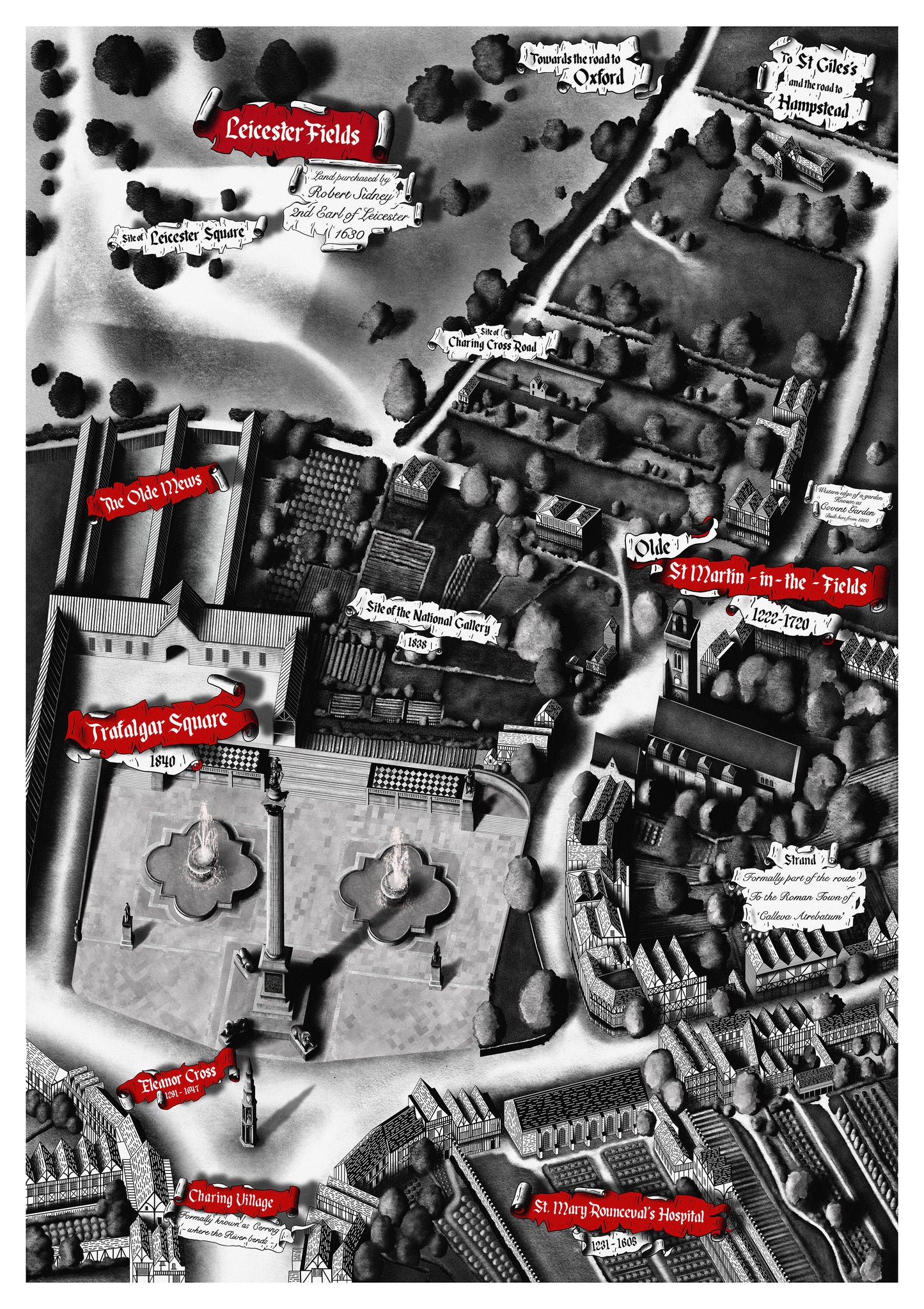
This is my latest series of work exploring the history of Charing Cross, London and its surrounding area.
Part 1 shows Charing Cross as it appeared in the mid 1700’s as London expanded westward.
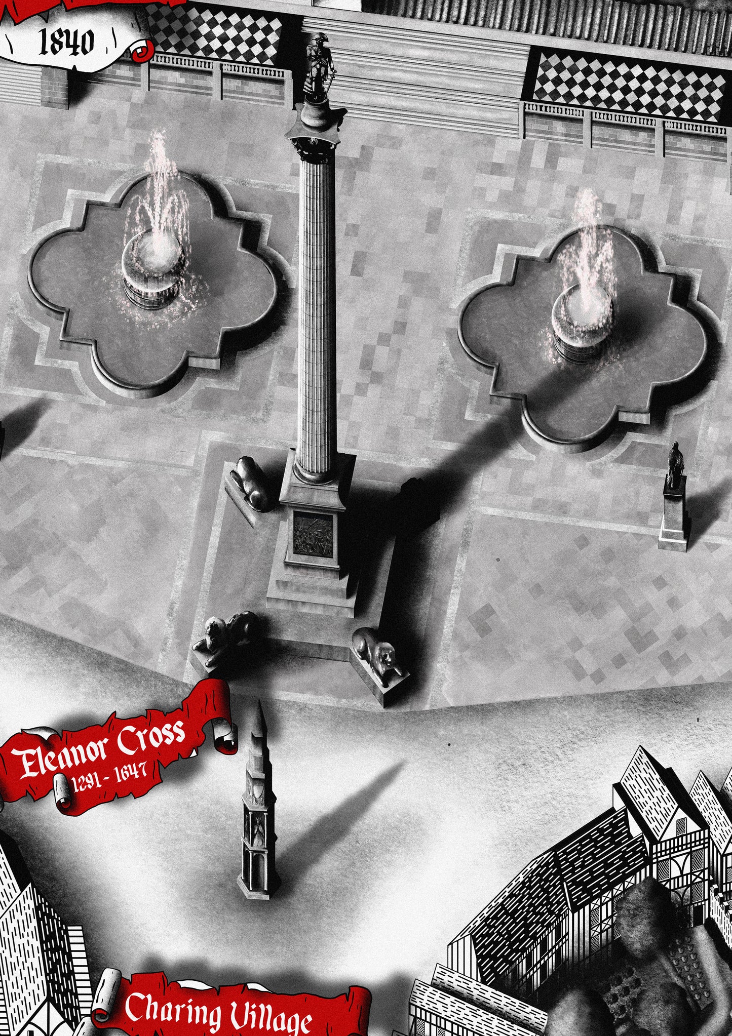
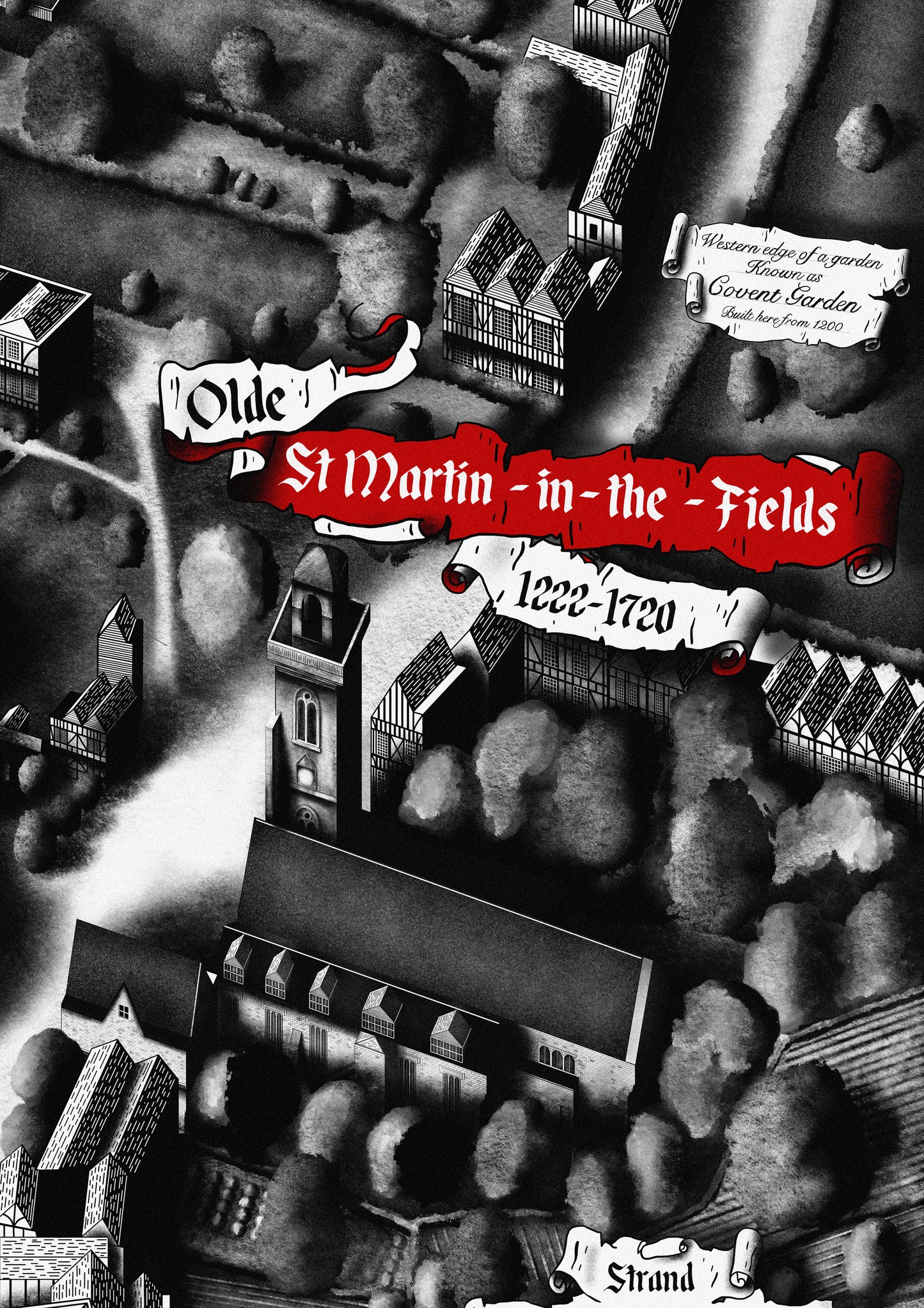
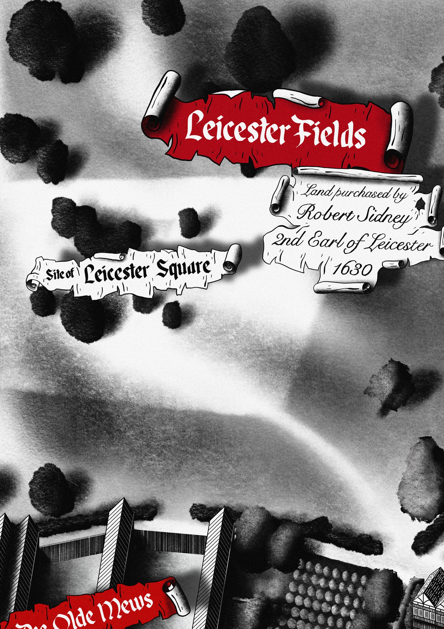
Part 2 shows the same area but as it may have appeared in the late Tudor period. Some modern elements such as Trafalgar Square have been added to create a sense of familiarity.
The name "Charing Cross" originates from the Old English word “cerring," which means "a bend in the road," and "cruc," which means "cross." The name refers to the Eleanor Cross, a monument that was erected here by King Edward I in the late 13th century to commemorate his late wife, Eleanor of Castile. It was one of twelve crosses marking the route of her funeral procession from Lincoln to Westminster Abbey.
As London continued to grow, Charing Cross evolved into a central hub for transportation. The area became a convergence point for various major roads, including the Strand, Whitehall, and Cockspur Street. These roads facilitated movement within the city and beyond. In the early 19th century, Trafalgar Square was constructed to commemorate Admiral Lord Nelson's victory at the Battle of Trafalgar in 1805. Nelson's Column and the surrounding square added further cultural and historical importance to the Charing Cross area.
