Marcus Dobbs
Clapham Common and Battersea Park (2024)
Couldn't load pickup availability
.
High quality Giclée print
Printed onto 310gsm Hahnemühle Etching paper
A2 - 16.5" x 23.4"
A1 - 23.4" x 33.1"
A0 - 33.1" x 46.8"
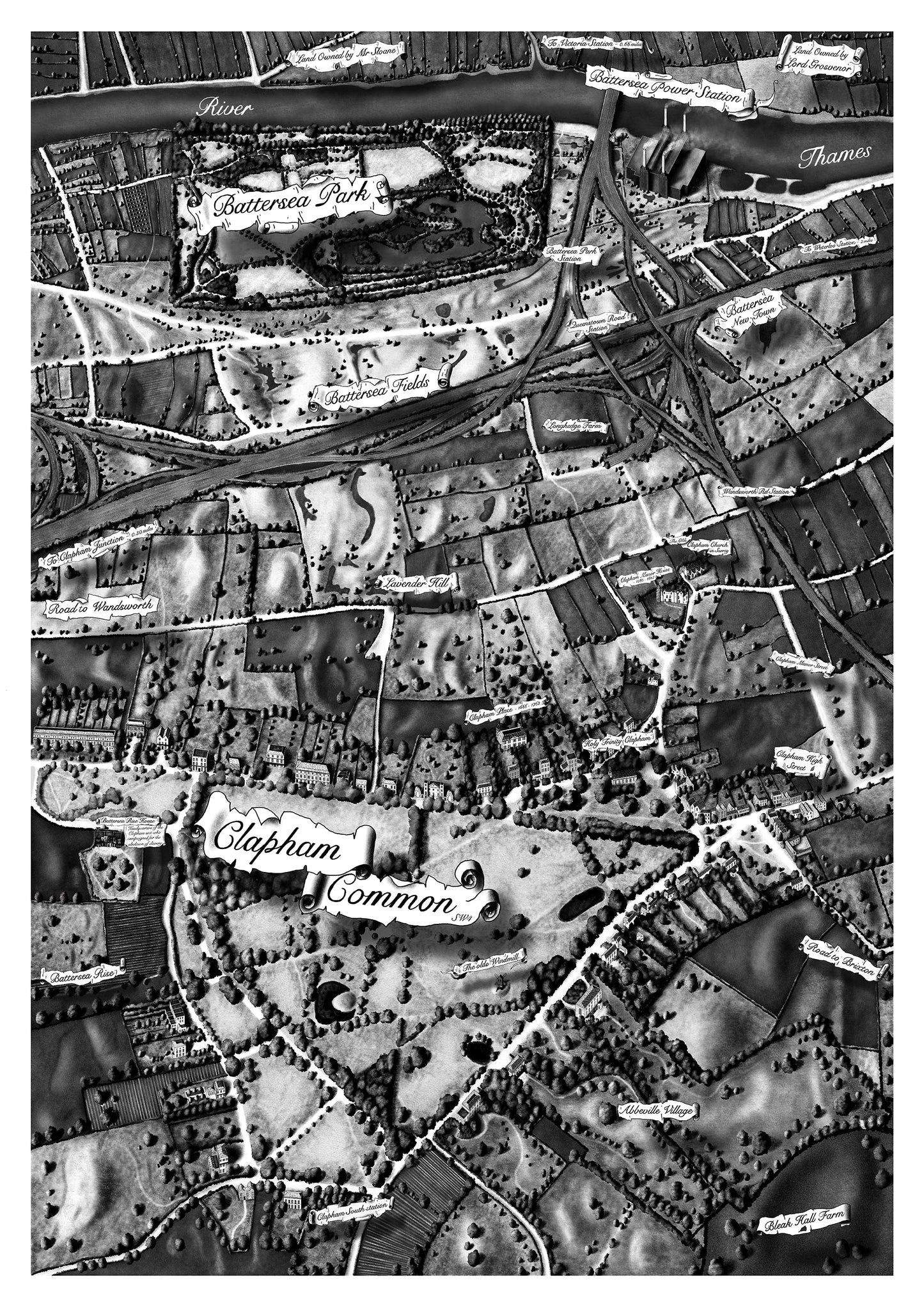
This map is the start of a new series exploring London’s Parks and open spaces. I Started this map as a private commission in September 23 and following its completion I wanted to expand on the idea looking at the wider surrounding area.
this is the second map from the series and is an extension to the first which focuses on Clapham Common only.
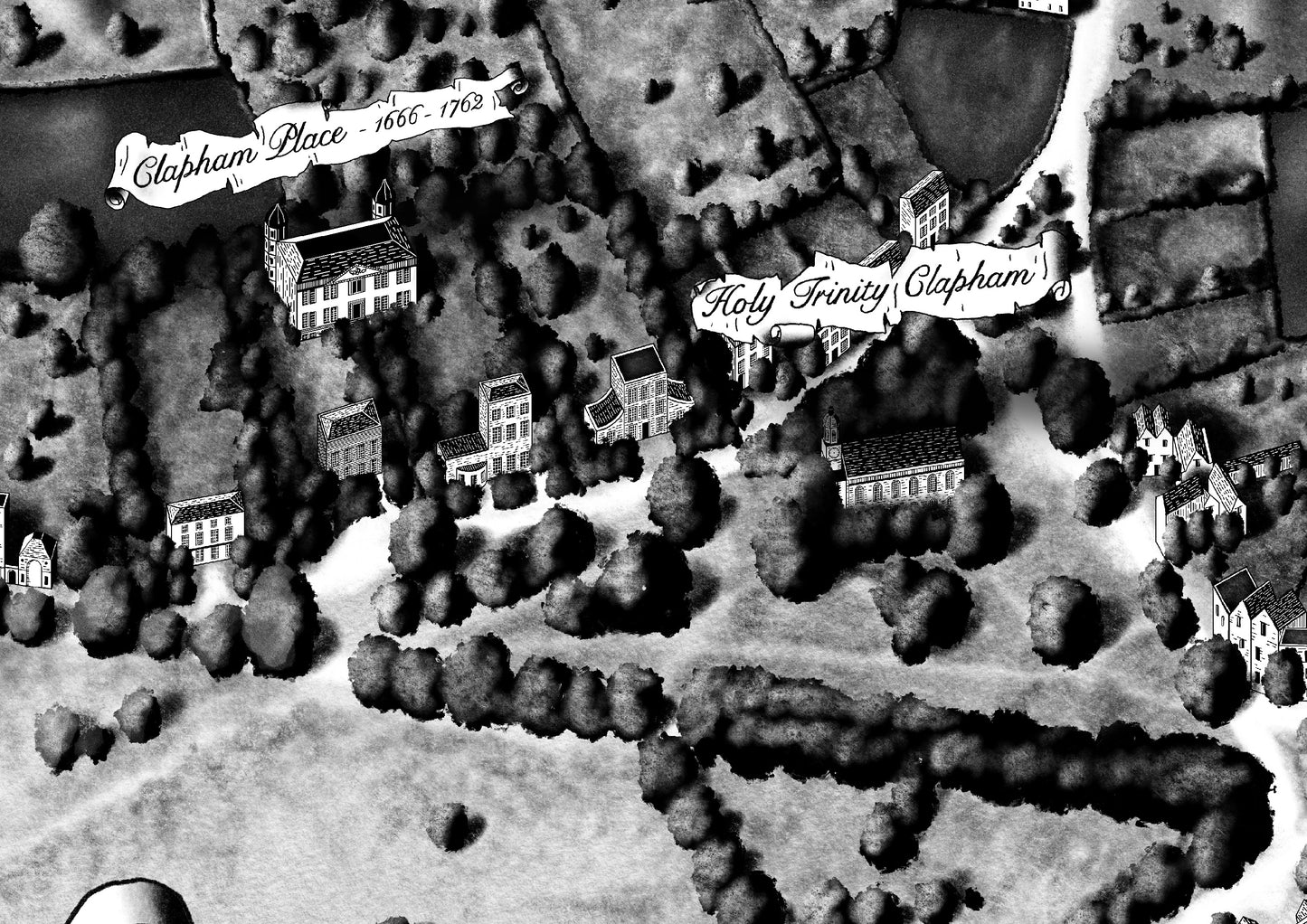
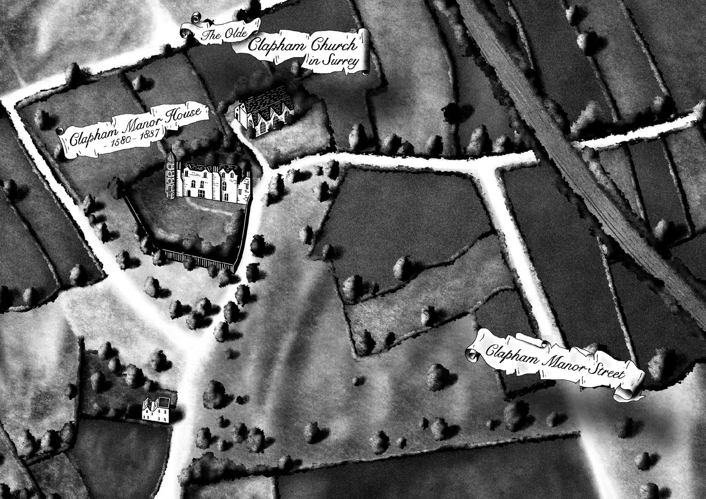
this map shows both Clapham Common and Battersea park amongst the open fields and marshland that occupied the area in the 17th & 18th Centuries.
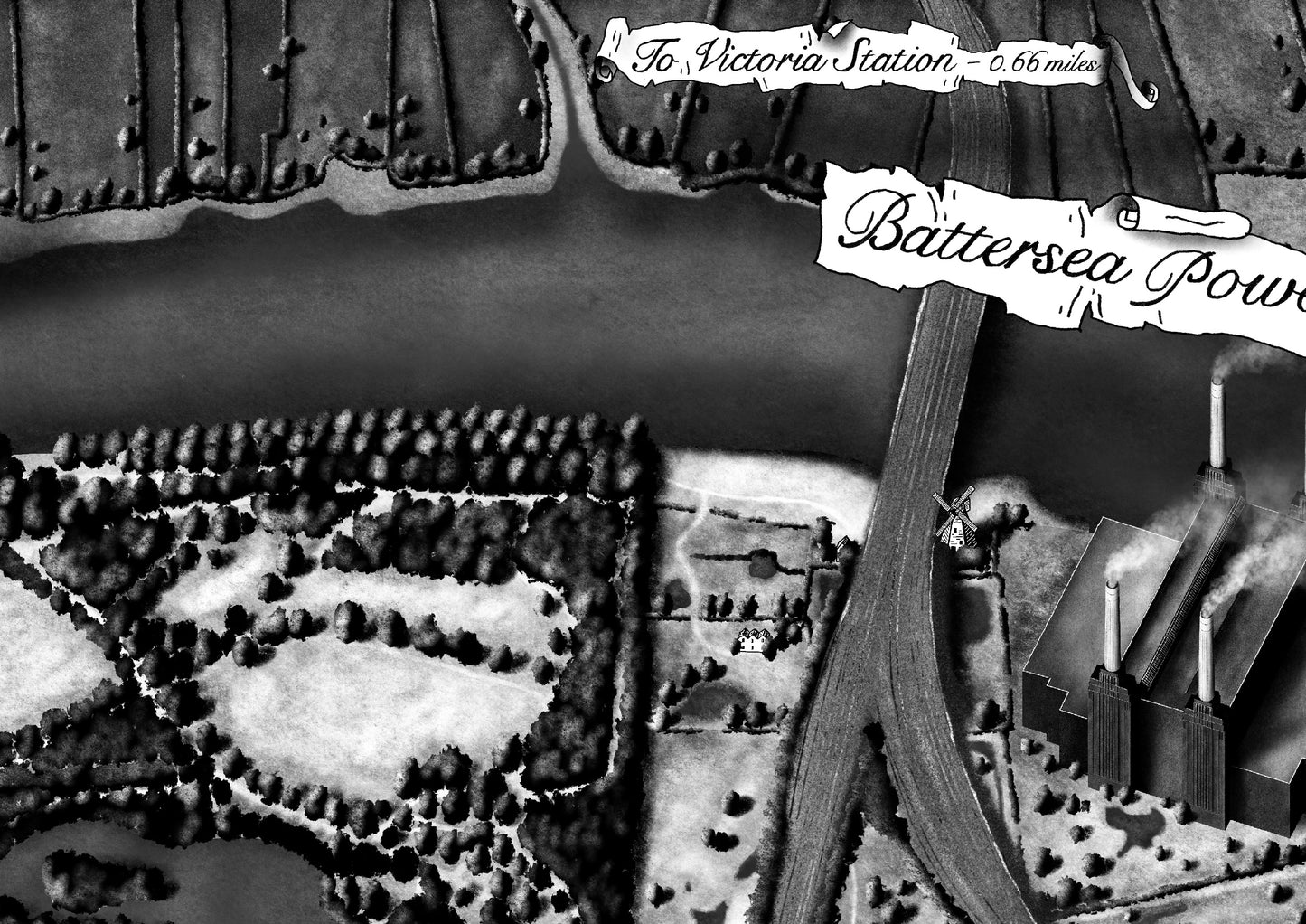
The overall layout is based off John Roque’s 1746 map ‘Country near ten miles round’. to add some famuliarity I have included some modern elements such as Battersea Power station (pre redevelopment) and the train lines heading into Victoria and Waterloo Stations.
This print is available in sizes A2-A0, all prints are sent directly from London using Royal Mail tracked delivery.


