


Marcus Dobbs
Fitzrovia - 2026
Couldn't load pickup availability
This is a high-quality Giclée print, produced on 310gsm Hahnemühle German Etching paper.
Free shipping within the UK
Fitzrovia - 2026
The first map drawing of 2026, this work explores the rural beginnings of what would become wealthy West London, focusing on an area known as Fitzrovia.
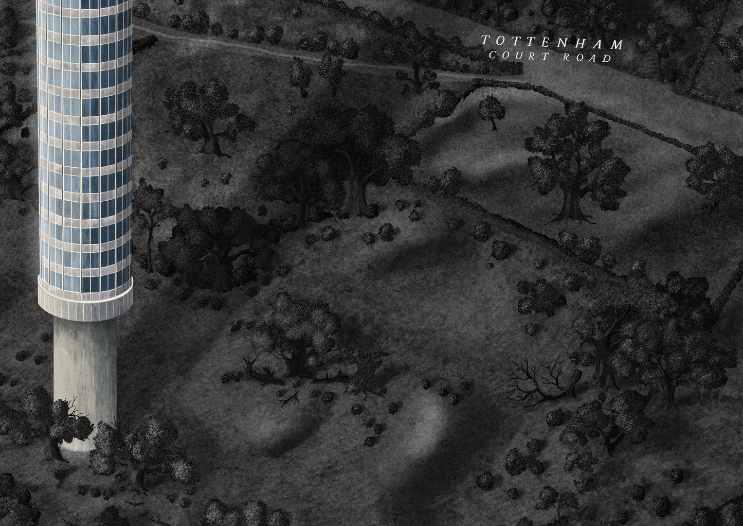
At the centre of the map stands the iconic BT Tower, completed in 1964, which remained London’s tallest building until 1980.
Today, the area is densely built up with homes, offices, and public squares, but the version depicted here reaches back to a much earlier time.
In this interpretation, the rural landscape unfolds as a patchwork of small farms, open fields, and ancient trees. Narrow country roads wind through the land, leading to lost and forgotten manor houses such as Totten Hall. Although the manor itself has long vanished, its humble dirt track survives as Tottenham Court Road, now one of London’s main thoroughfares.
Elsewhere on the map, areas are marked for future development, including Euston railway station, which cut through the rural setting when it opened in 1837. Other locations are defined by their historic parish boundaries.
The map weaves together multiple timelines, but its foundation lies in the medieval to 18th centuries, capturing the landscape just before London began its great westward expansion.