Marcus Dobbs
Old Charing Cross (2023)
Couldn't load pickup availability
Old Charing Cross - 2023
High quality Giclée print
Printed onto 310gsm Hahnemühle German Etching paper
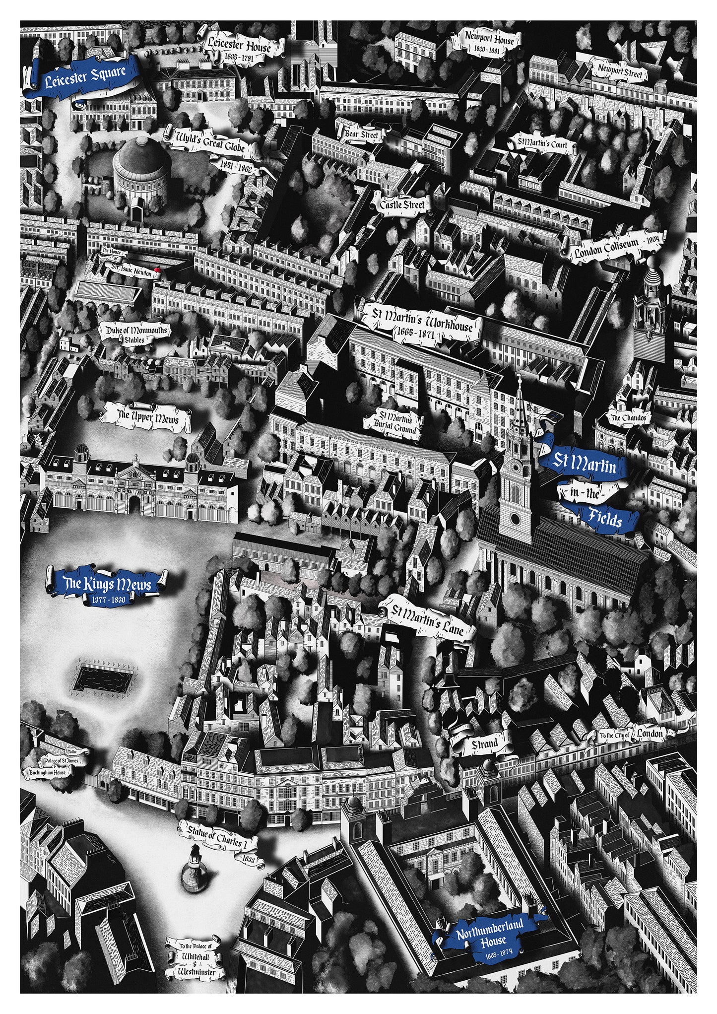
This series of work explores Charing Cross and it’s surrounding area.
Charing Cross sits on cross roads and is the main link between the Cities of London and Westminster. Today the area is dominated by Trafalgar Square and the government buildings of Whitehall.
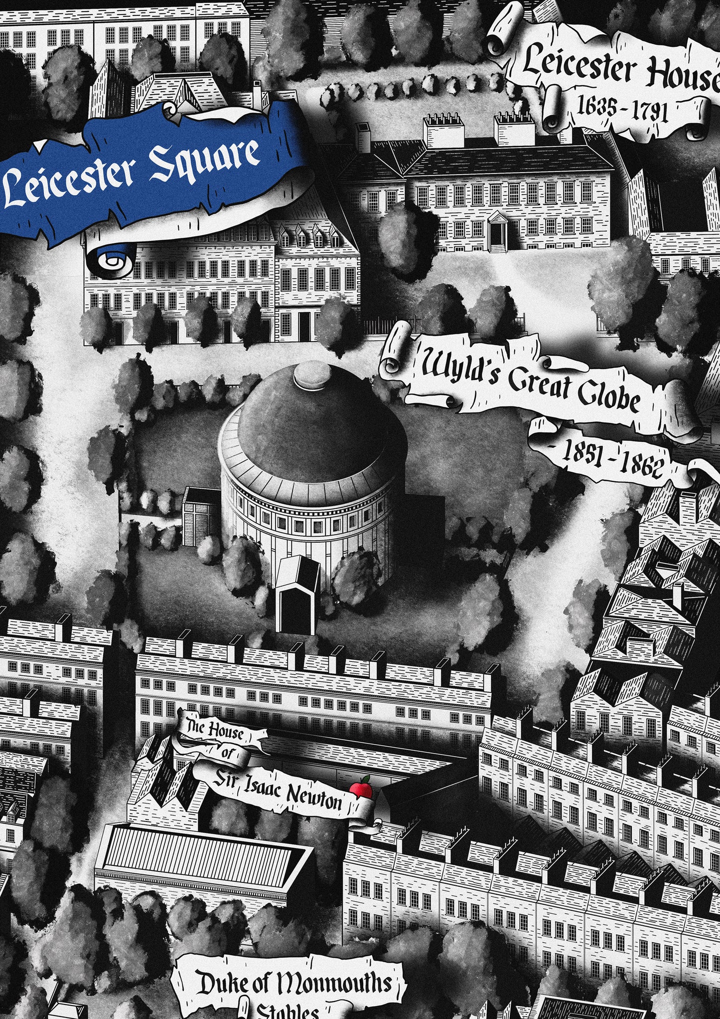
In this print we see a historic view based on the street plan of John Rocque’s 1745 map of London. While the street plan dates from 1745, various elements of the map come from different eras, from Medieval to the Modern day. All of this comes together to compress elements of London’s unique history.
Some key landmarks depicted in this map -
Northumberland House 1605 - 1874
A large Jacobean Townhouse and former residence of the wealthy Percy family. The house was originally built by Henry Howard, 1st Earl of Northampton in 1605.
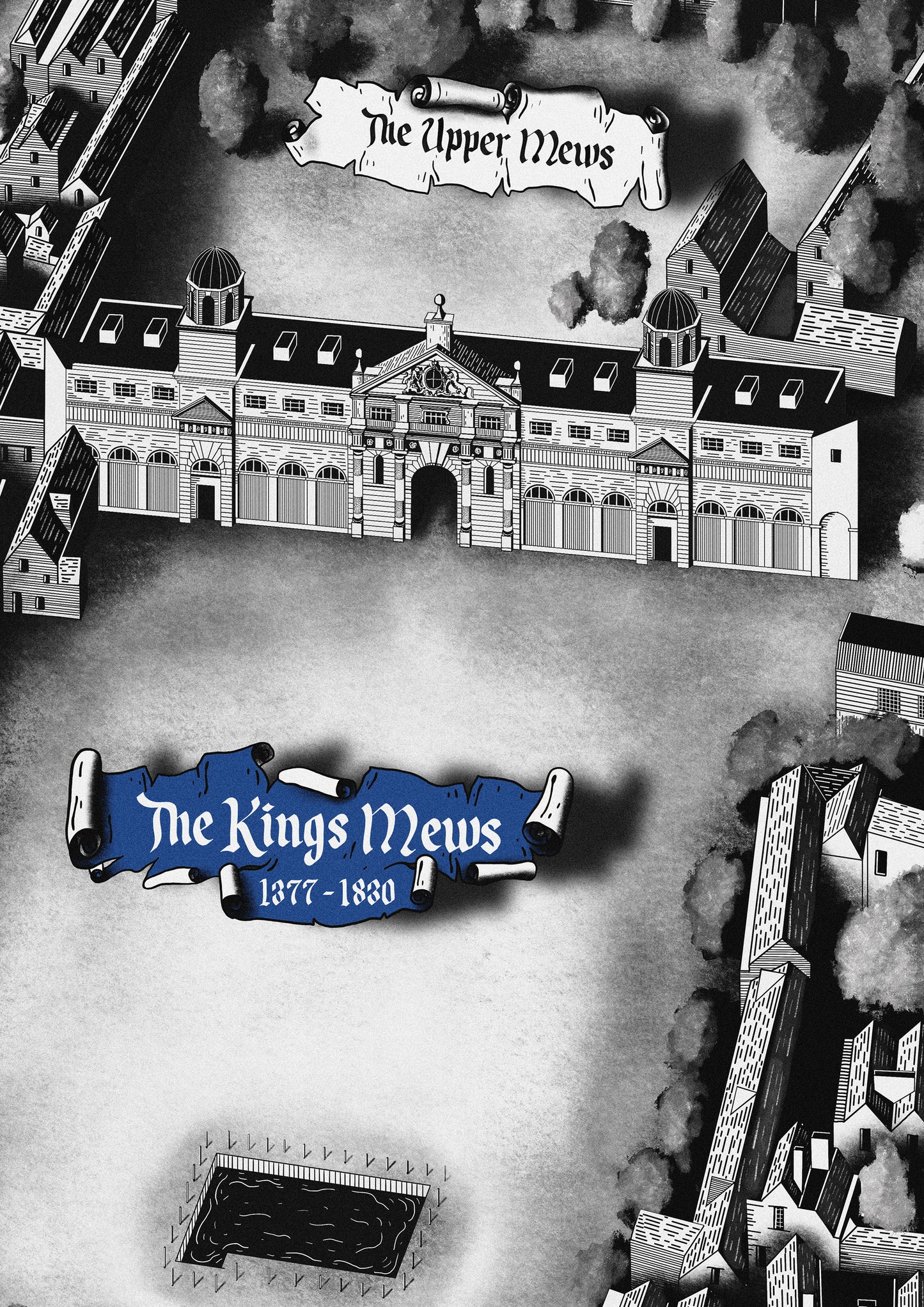
The King’s Mews 1377 - 1830
A large Royal stable used to house Horses and Hawkes belonging to the Royal Family.
The mews was later moved to Buckingham Palace in 1762, with the former Mews being demolished in the 1820’s to make way for Trafalgar Square and the National Gallery.
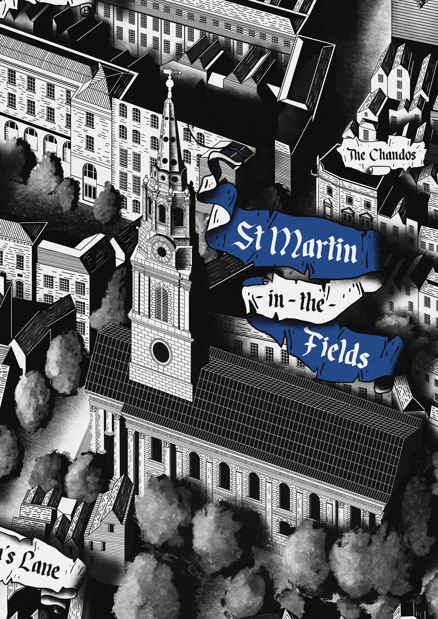
St. Martin-in-the-Fields - 1721
The present day church dates from 1721, however a church has stood on this site since at least 1222 and prior to this was used as a burial ground during the Roman era.
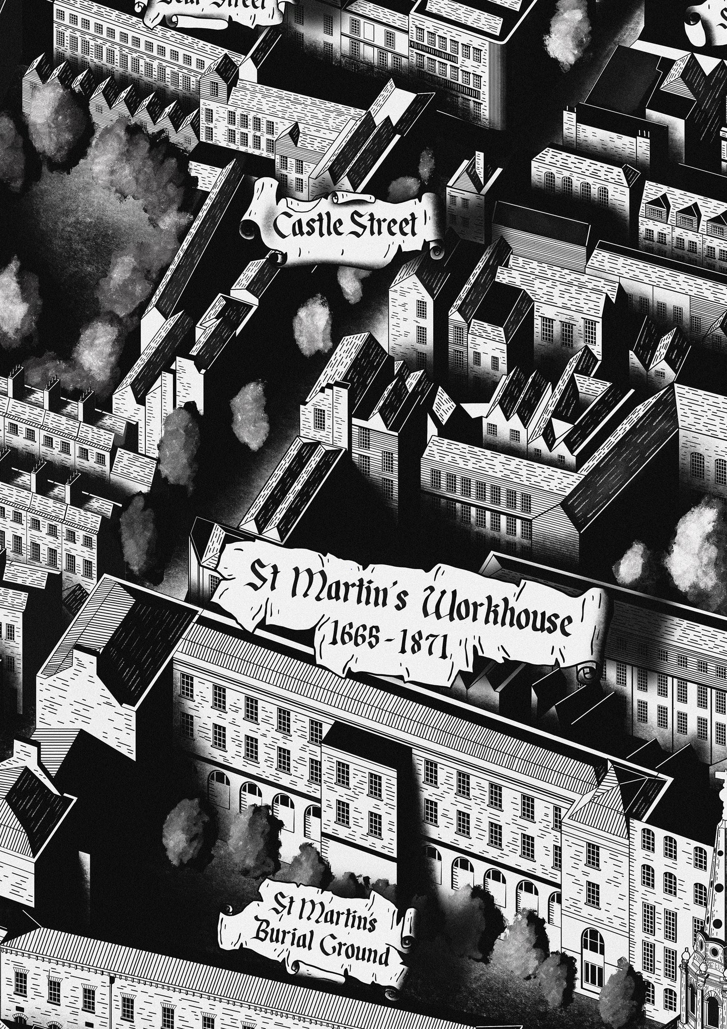
St. Martin’s Workhouse 1665 - 1871
A notorious workhouse built on the Burial ground of St. Martin-in-the-Fields. In 1725 it was noted that the workhouse had 344 Men, Women and Children living and working here. The workhorse was demolished in 1871 in order to expand the National Gallery.
London Coliseum - 1904
A grand theatre situated in St. Martin’s Lane, designed by architect Frank Matcham and opened in 1904. The Theatre is currently home to the English National Opera.
Wyld’s Great Globe - 1851 - 1862
A large domed structure used to house an exhibition by mapmaker and member of parliament, James Wyld. The interior of the dome showed a model representation of the globe, with each inch representing 10 miles of the Earth. In 1853 the exhibition attracted 1.2 million visitors.
Leicester House - 1635 - 1791
A large aristocratic townhouse built on open land in the parish of St. Martin’s Field. The House was built by Robert Sidney, 2nd Earl of Leicester. The area would soon become known as Leicester Fields and later Leicester Square.
