Marcus Dobbs
One Canada Square - (2024)
Couldn't load pickup availability
One Canada Square - 2024
High quality Giclée print
Printed onto 310gsm Hahnemühle German Etching paper
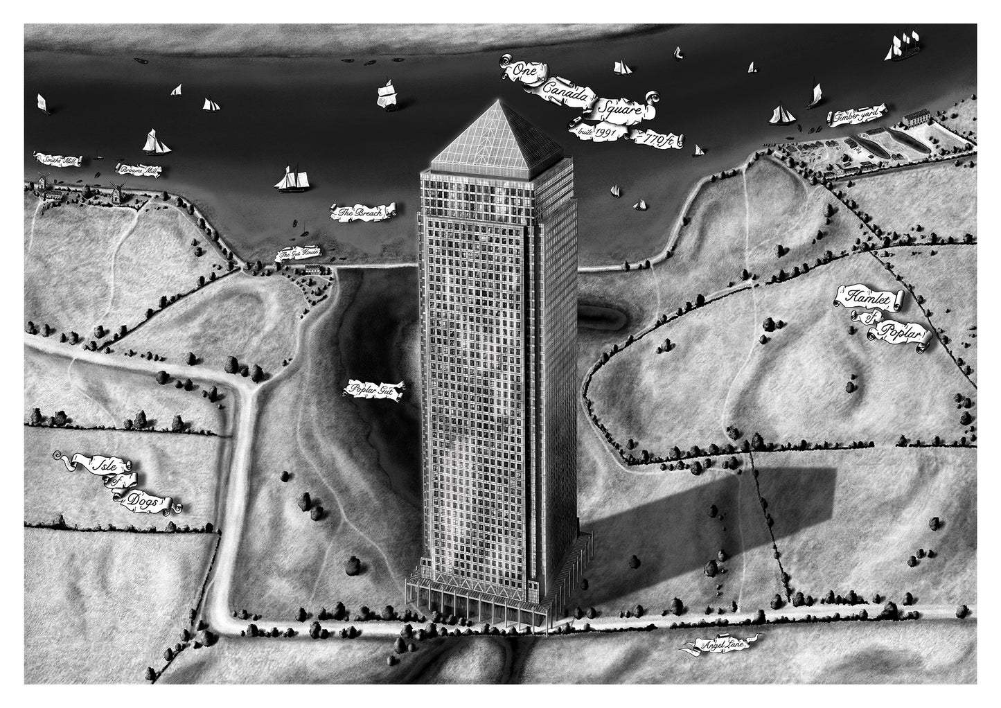
This is the first in a series of maps exploring Canary Wharf and the old Docklands.
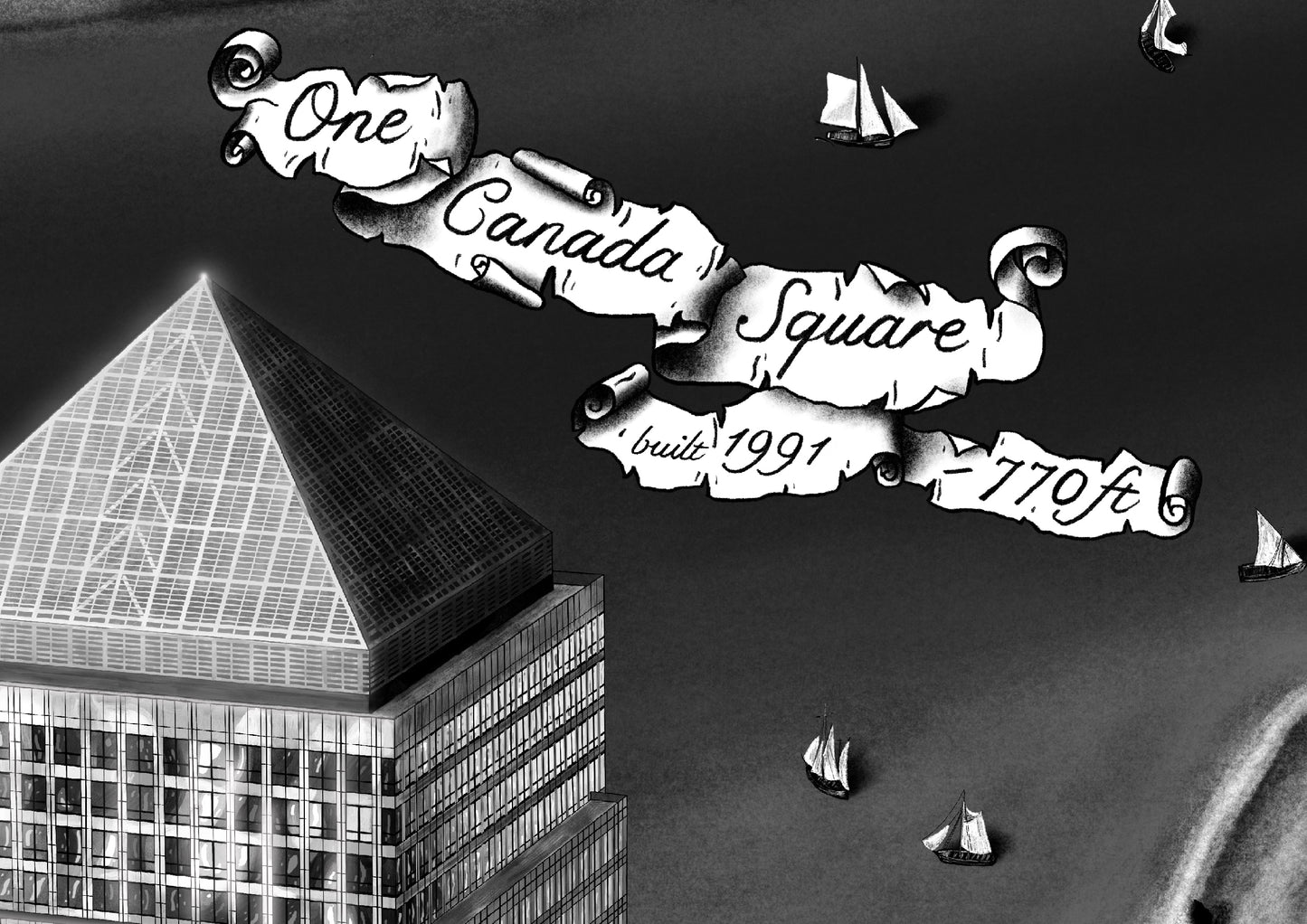
This map features ‘One Canada Square,’ a skyscraper commonly known as the Canary Wharf Tower. Today, the building is surrounded by a sea of office towers and apartments. However, in this map, we see the tower standing alone on the old marshland that would later become the Docklands.
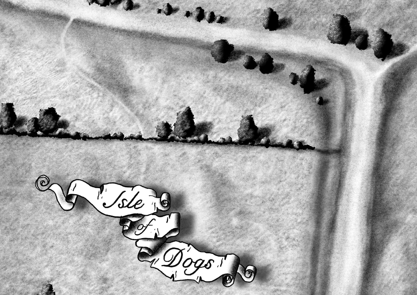
The landscape, unrecognizable today, shows Canary Wharf as it might have appeared in the mid-1700s. At that time, the area was a marshland used for cattle grazing. The tide would regularly flood the entire region, creating areas now known as the ‘Isle of Dogs.’
Behind the tower, there is a large pond known as the ‘Poplar Gut’ and an inlet called ‘The Breach.’ Both were formed when the tidal defenses along the river failed in March 1660, causing the area to remain flooded for many years.
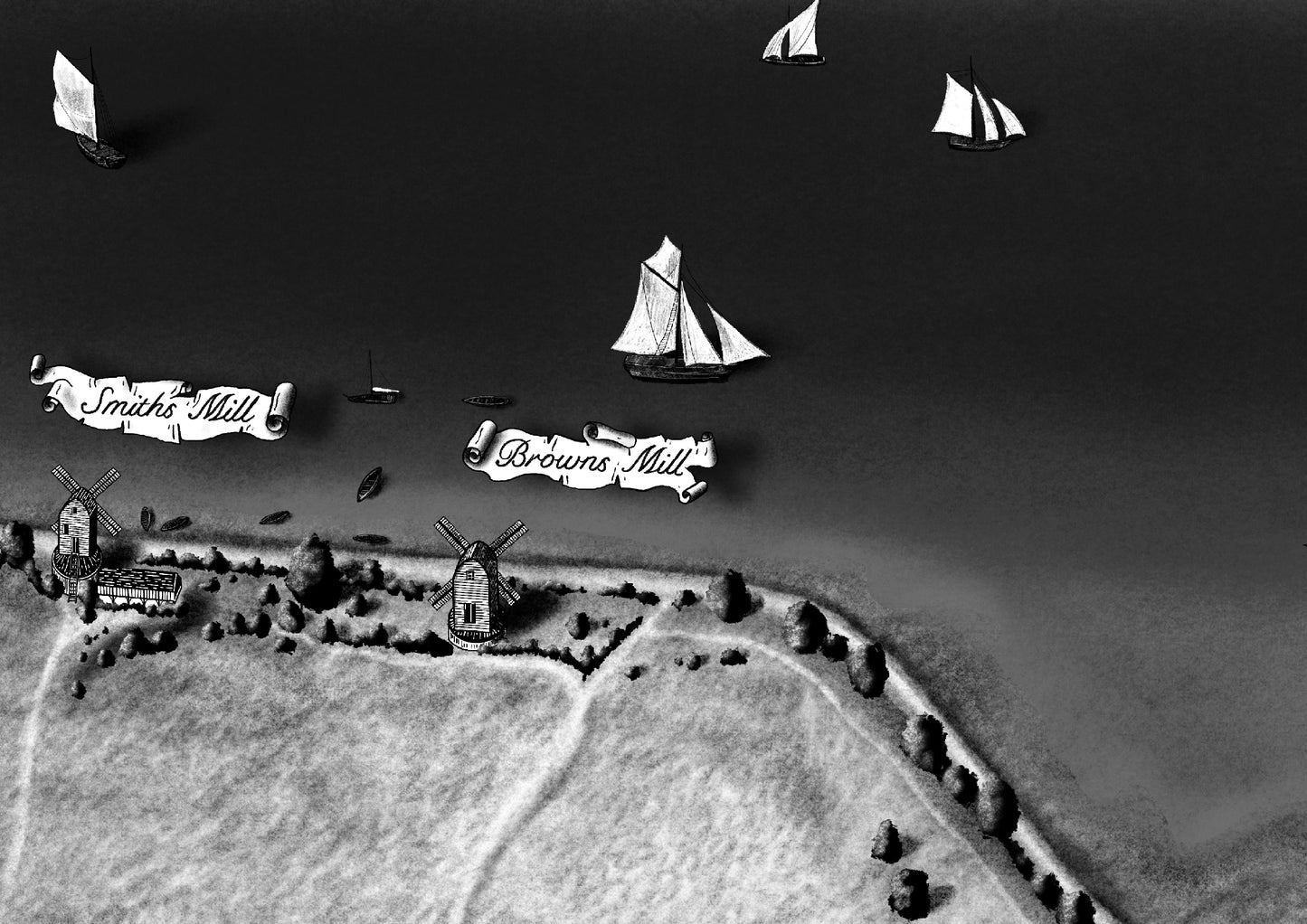
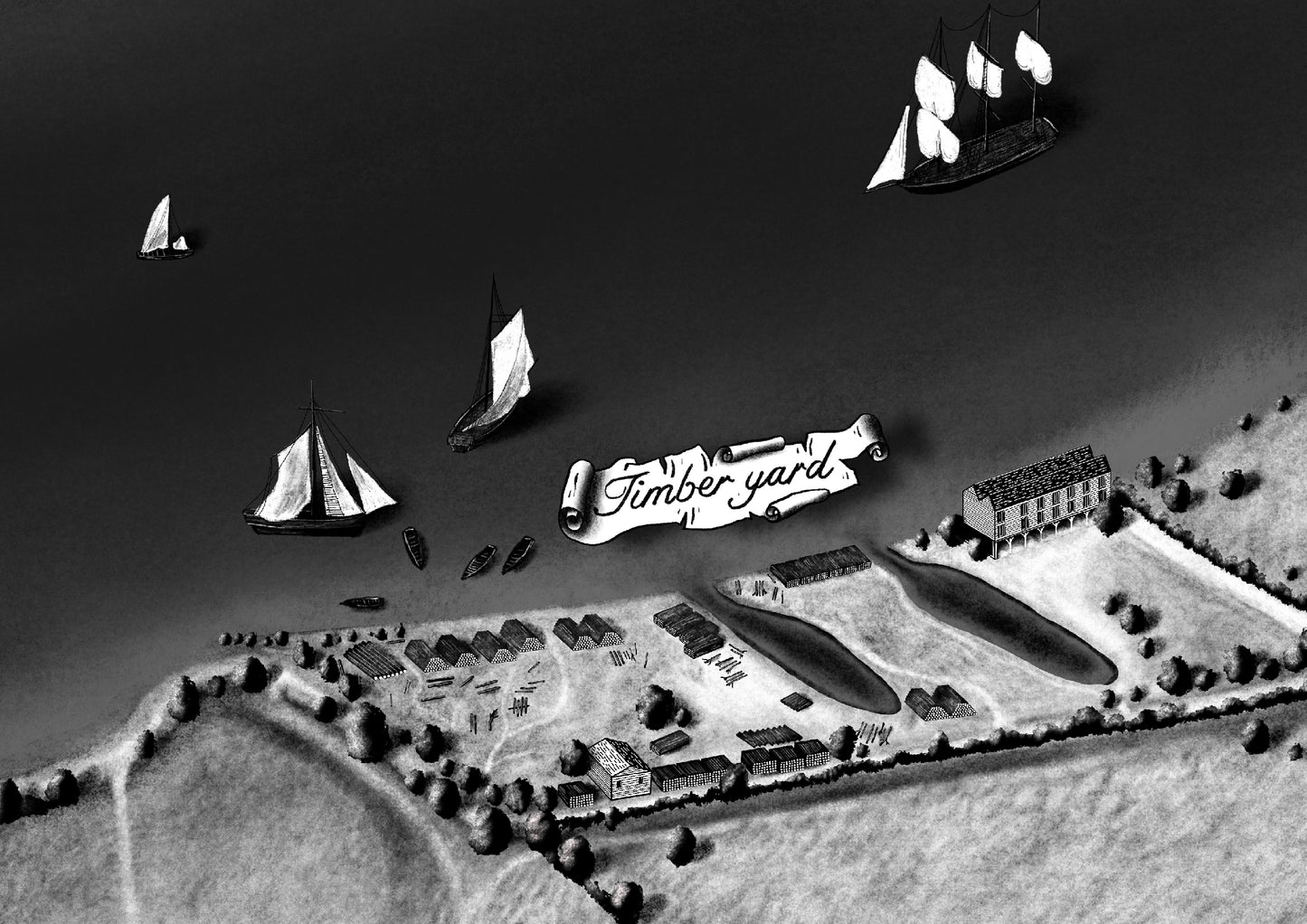
Along the banks of the Thames, we see signs of industry, such as corn mills and timber yards. The mills were built along the western side of the Isle of Dogs to take advantage of the westerly winds. At one point, there were 11 mills along the riverbank.
